Lets work together


Suite 3A, Chapel Allerton House, 114 Harrogate Road, Leeds, LS7 4NY
ukinfo@integrated-skills.com
+44 (0) 3300 888 670

Ordnance Survey mapping may not be at the top of the list for dinner party conversation, but the invaluable data supplied by this centuries-old organisation is the lifeblood of route mapping. Their data now underpins much of modern life, especially business life.
Here we’ll be explaining how Ordnance Survey data has evolved over the years and how it supports the work of emergency service responders, waste and recycling management and our postal services, as well as how we utilise OS data in our own service offerings.
An Intro to Ordnance Survey and Their History
As Britain’s national mapping agency, Ordnance Survey are tasked with maintaining accurate, up to date geographical data. Born out of military needs, the agency was first tasked with mapping the Scottish Highlands during the rebellion of 1745.
Until this time, maps were created in lesser detail. They lacked the information needed to successfully move troops and plan for military strategies. The maps created included paths, rivers, hills and settlements – achieved by a handful of surveyors and very basic equipment. They used simple compasses and 50ft lengths of chain to measure distances, while the remainder was sketched by eye.
Later, in 1789, the “Board of Ordnance” was asked to survey England’s southern coasts out of fear that the French Revolution may spill onto our shores. The agency then evolved and expanded their work, improving their mapping abilities and aiding in British military planning for years to come.
After the Second Word War, Ordnance Survey re-mapped the country to correct previous inaccuracies and reflect the changes caused by wartime destruction.
In the 21st century, Ordnance Survey rocketed into using the latest technologies to help create data sets such as OS MasterMap and OS OpenData which exploded into our day to day lives:
“Over the first eight years of OS OpenData we saw data downloaded 1.9 million times. On average, 150 people download OS OpenData every day. That’s 54,750 people a year.”

Ordnance Survey Today
The entire country is now accurately mapped to extraordinary detail, with some 20,000 amendments made daily. Geographical information is a part of most of the information collected in Britain- from the location of addresses and people, to local government boundaries to flood risks areas.
This data has huge potential to increase efficiencies and profits for companies that helps spur growth in the UK economy which is why the OS is well supported. They now utilise technologies including satellite navigation systems, remote sensing, LIDAR and Geographical Information Systems, tools and software.
“The public and private sectors benefit from accurate information about ‘location’ and a world-leading reliable geographic framework helps deliver effective and efficient services.”
How is the Data Utilised?
OS data is used by just about every industry that relies on movement and/or location. Postal workers, delivery drivers, meter readers, emergency services- plus anyone that uses a map in their day to day lives.
Of course, our focus is on the waste and recycling, parcel & postal delivery and meter reading sectors, for which OS data is invaluable. Efficient delivery, collections & servicing are the key to keeping costs low, and digital mapping data is used to ensure that happens. From route planning to vehicle tracking, site location analysis to territory planning- this list goes on.
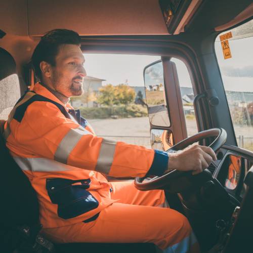
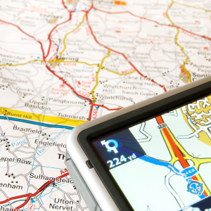
The digital mapping required by HGVs, for example, is very different to the needs of normal road-users who may use Google Maps, Garmin or similar. HGVs, which often carry large and dangerous loads, require far more detail, including:
The data provided by Ordnance Survey covers the above and more, allowing waste management teams to plan and execute their routes to perfection. This capability is increased further by combining the data provided with route optimisation software.

Ordnance Survey and Integrated Skills
Integrated Skills has been a partner of Ordnance Survey for over 15 years, utilising their map data in multiple route optimisation projects across various sectors. Whether applied to waste and recycling collections, parcel and document delivery or meter reading, we use OS data to ultimate effect.
In recent times, OS has been merging data sets and providing an even richer source of data which we have quickly utilised for optimal route planning. They have improved the granularity of the data, noting exactly where bridges intersect with other transport networks (road, rail or water) as well as footpaths. This has been an important development for our usage.
We use this data to ensure that meter readers and delivery drivers can reach their residential and business service locations as optimally as possible – even along footpaths or when catching a ferry.
We’ve worked with many councils over the years, integrating the OS data available with the capabilities of our RouteSmartTM software. Our partnership has resulted in massive savings, reduced carbon emissions and increased job satisfaction.
Gateshead Council is a great example. They were focussed on increasing efficiencies across their waste management offering. Using Public Sector Mapping Agreement data from OS in conjunction with our software, we achieved significant savings in time, money and resources.
Outcomes included:
“OS MasterMap ITN layer and its Road Routing Information in conjunction with the Routesmart software have made it possible for us to optimise our waste collection services and allow us the flexibility to make ongoing changes when the need arises.” Colin Huntington, Service Director, Gateshead Council
Under similar schemes, West Suffolk council saved £180 000 in waste management costs, Hambleton and Richmondshire district councils achieved savings of £850 000 and Newcastle City Council reduced costs by £248,000.
At one of the UK’s leading meter reading companies the ROI was achieved within months thanks to the combination of the route optimisation software, the GIS system, the street network data, the bespoke address matching and geocoding solution and ISL’s ability to being all these elements into one solution.
For integrated thinking and integrated software call Integrated Skills.
If you’d like to hear more, just get in touch and we’d be happy to help.
Would you like to know more about Leveraging Ordnance Survey Mapping for Enhanced Route Optimisation? Fill in your details below and let us know how we can help.
Website Designed & Built by we are CODA